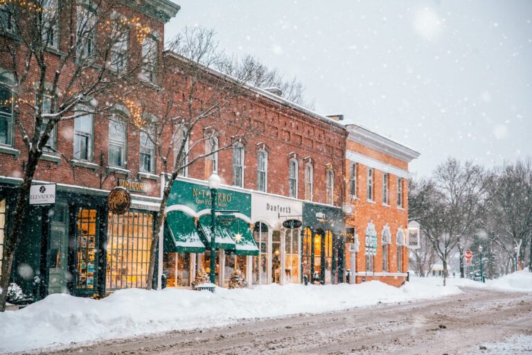
The Ottauquechee River Trail: Blazing a new path in Woodstock
Whether you’ve trekked to the peak of Mt Peg or wound your way around the Pogue at Marsh-Billings-Rockefeller National Historical Park, there’s one side of Woodstock’s walkable backyard you haven’t seen yet…
The Ottauquechee River Trail
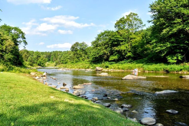
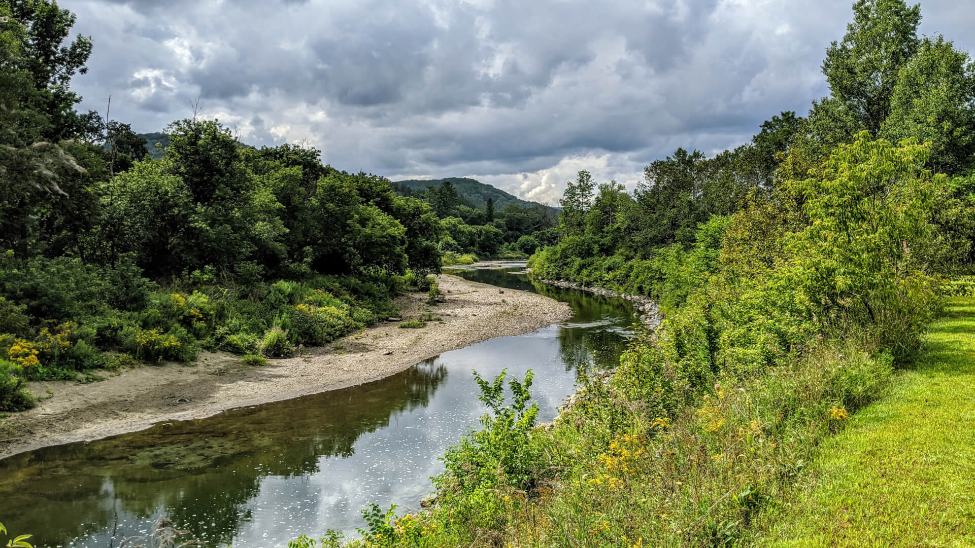
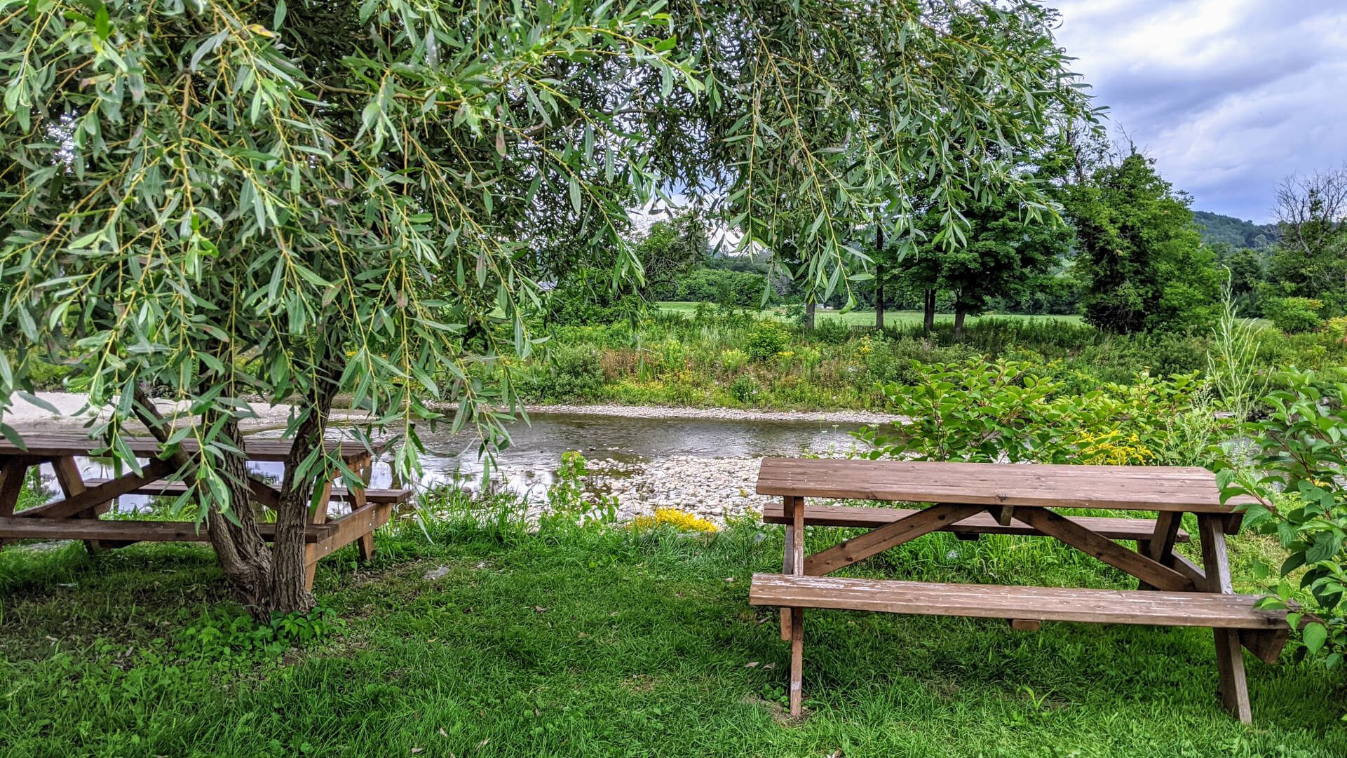
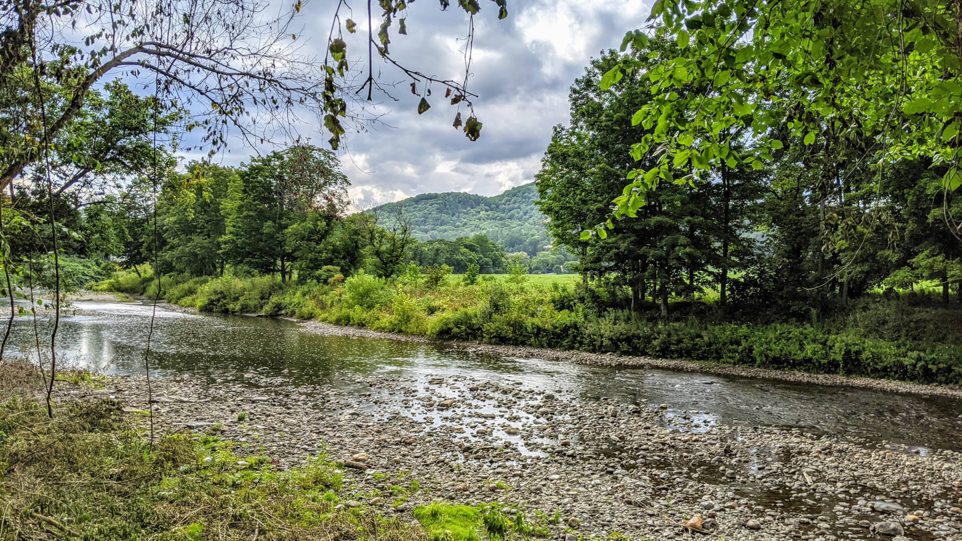
With your face to the Ottauquechee River, dig your toes in the lush, soft grass of East End Park—a spot once dubbed “the jungle” for the dense tangle of wilderness which served as a dumping ground for excess snow—and glance to your right.
There, beyond the freshly-built amphitheater, is a winding route.


The three-mile Ottauquechee River Trail was developed with help from Woodstock residents and the Upper Valley Trails Alliance.
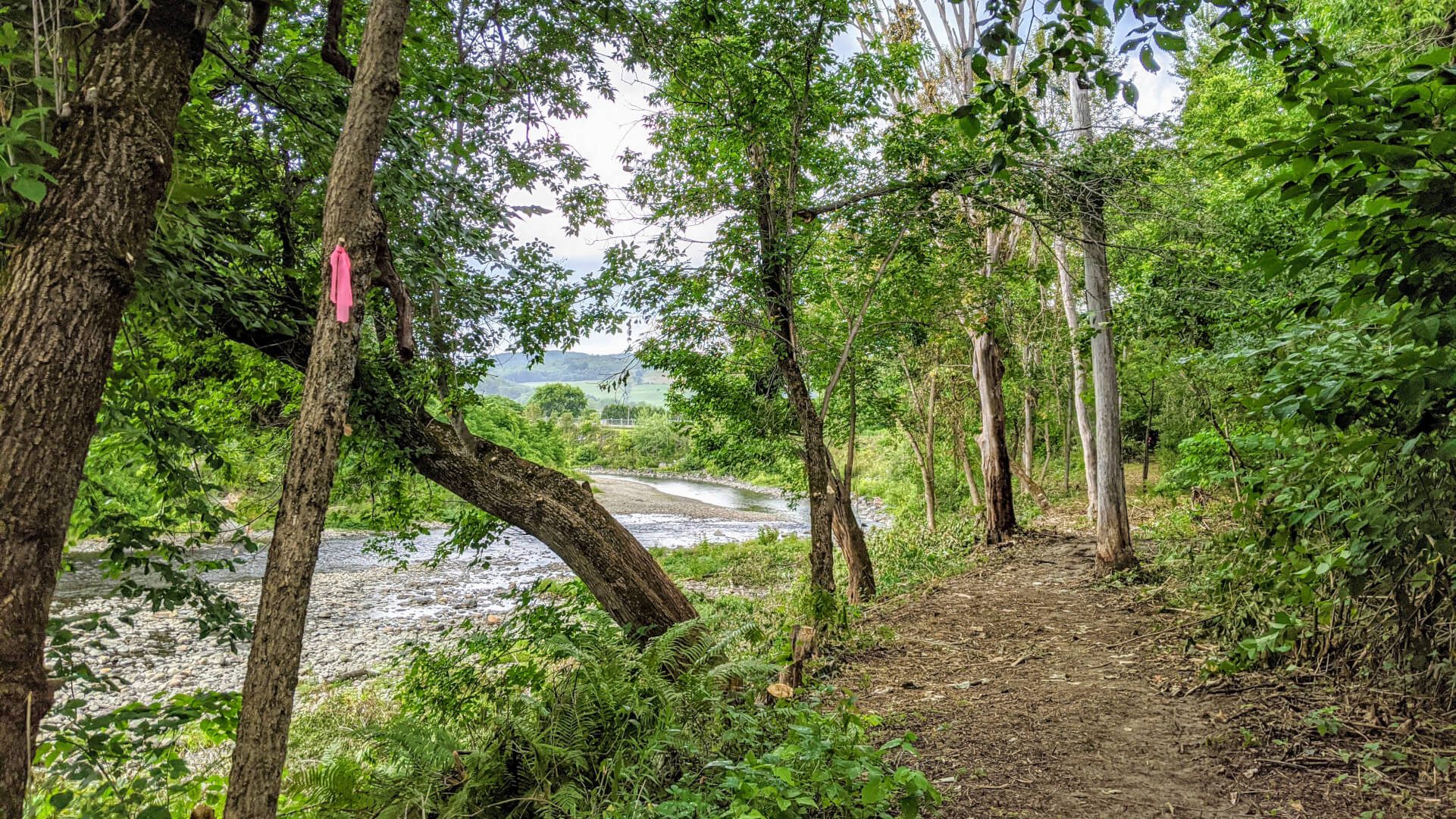
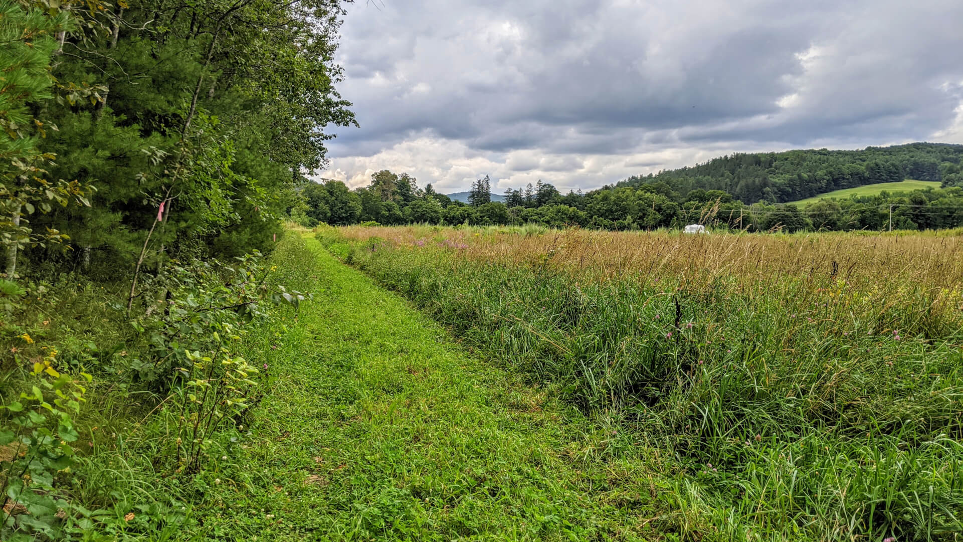
The Ottauquechee River and Billings Farm & Museum’s pastoral grounds beckon from beyond a stand of trees. You’ll inch closer till the wide, flat trail bends right to follow the swaying path of the river, complete with perspectives of Mt Peg and Mt Tom you can’t find anywhere else, before transitioning to a meadow loop of mowed fields.
There’s an infusion of history and mindfulness toward the creation of this trail system.
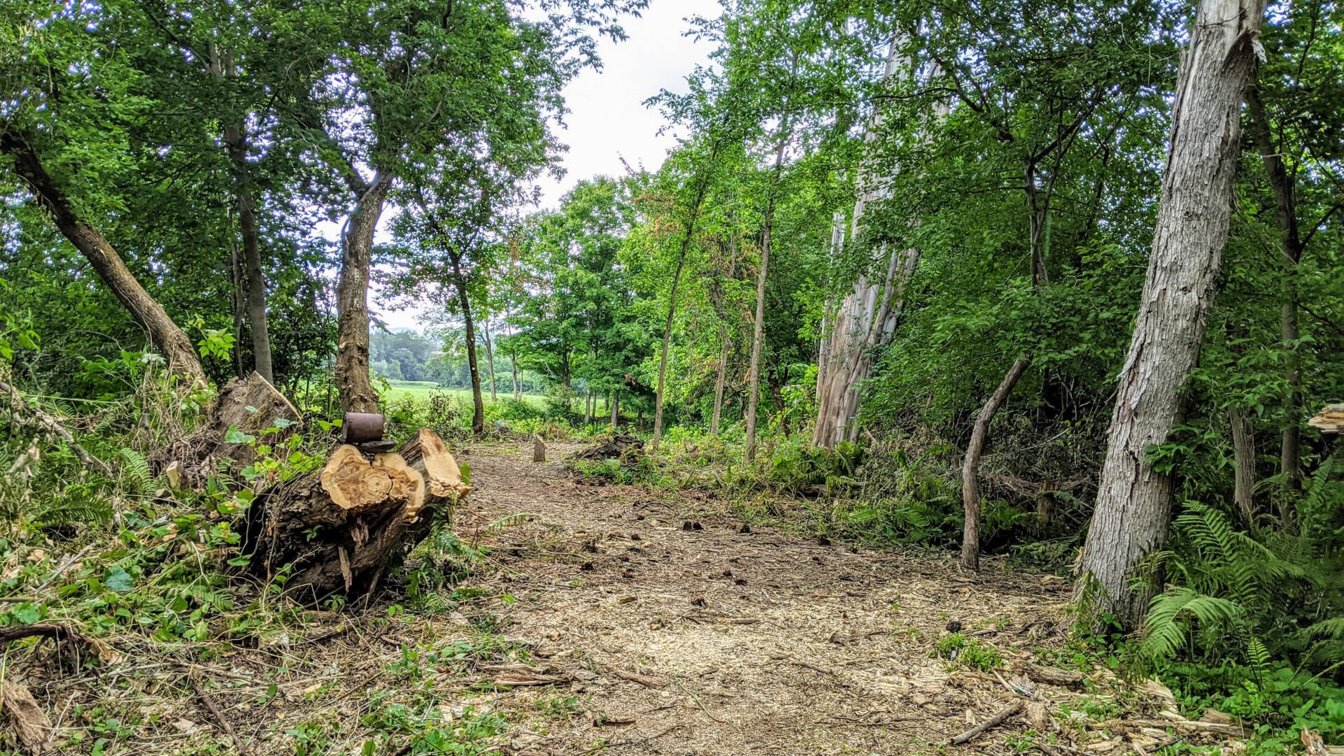
While the path dodges and weaves around wetlands and vernal pools, careful not to disrupt the flora and fauna of a riparian ecosystem, there are many stretches long ago set in stone—or in this case, steel.
Look closely and you may see signs of the railroad bed underfoot, laid 150 years ago as part of the Woodstock Railroad, a 14-mile track transporting passengers, goods, and freight between White River Junction.
It’s a beautiful balance with one heck of a view.
TO ACCESS MORE GREAT CONTENT ON OUR BLOG…
Be the first to know
Want to stay in-the-know about everything happening in Woodstock? Take a minute to sign up for our newsletter and get the latest insider tips, upcoming events, things to do, special deals, and more!