Join us as we take an hour or two to disconnect from all the noise—the news, screen time, our daily tasks.
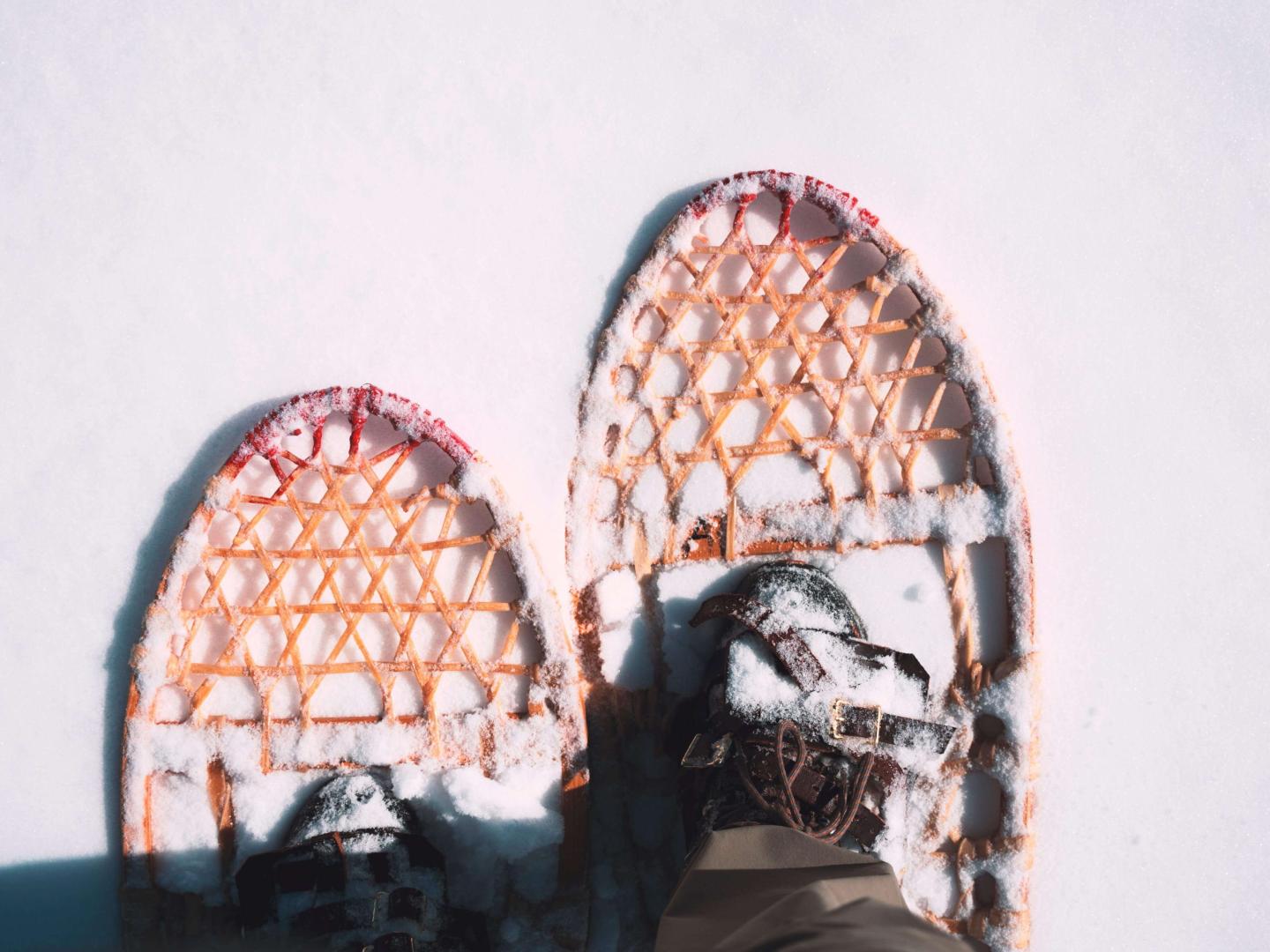
In this guide, you'll discover three of our favorite winter trails on Mt. Tom of the Marsh-Billings-Rockefeller National Historical Park and Mt. Peg, both peaks within a few minutes of the center of town. We hope you enjoy these peaceful places as much as we do.
Important guidelines to follow before you hit the snowy trails:
- All non-essential travel to and from Vermont now requires quarantine, as per the State of Vermont's requirements.
- To use the groomed carriage roads and trails within the Marsh-Billings-Rockefeller National Historical Park for skiing and/or snowshoeing, you must have a completed attestation form and valid day ticket or season pass via the Woodstock Nordic Center. Click here for details.
- Approximately 4 miles of trail along the main carriage road corridors have been designated as ‘Multi-Use Trails’ in winter – walkers are permitted to use these trails free of charge (without purchasing a pass from the Nordic Center) provided they do not walk in the ski tracks, keep dogs on leash at all times, and respect the skiing-and snowshoeing-only trails.
1) The Pogue, Mt Tom
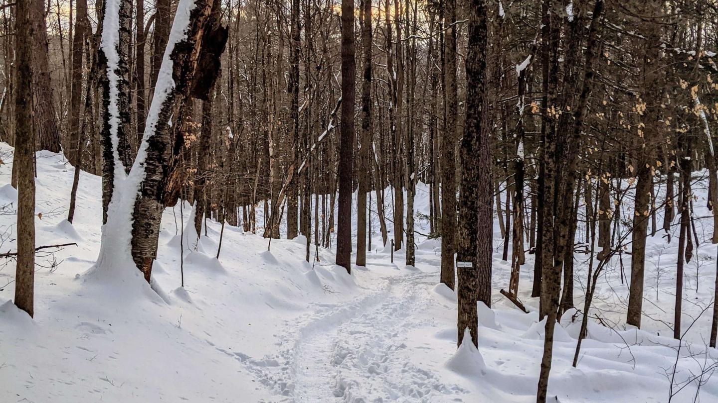
Begin this scenic climb from the parking area at Billings Farm & Museum, crossing Rt 12 into Marsh-Billings-Rockefeller National Historical Park. Stay to the right past the Carriage Barn Visitor Center and continue up the mildly steep Mountain Road until you reach a three-way intersection. Here continue left on Mountain Road, which will bring you down to the The Pogue, a 14- acre utopian mountain pond.
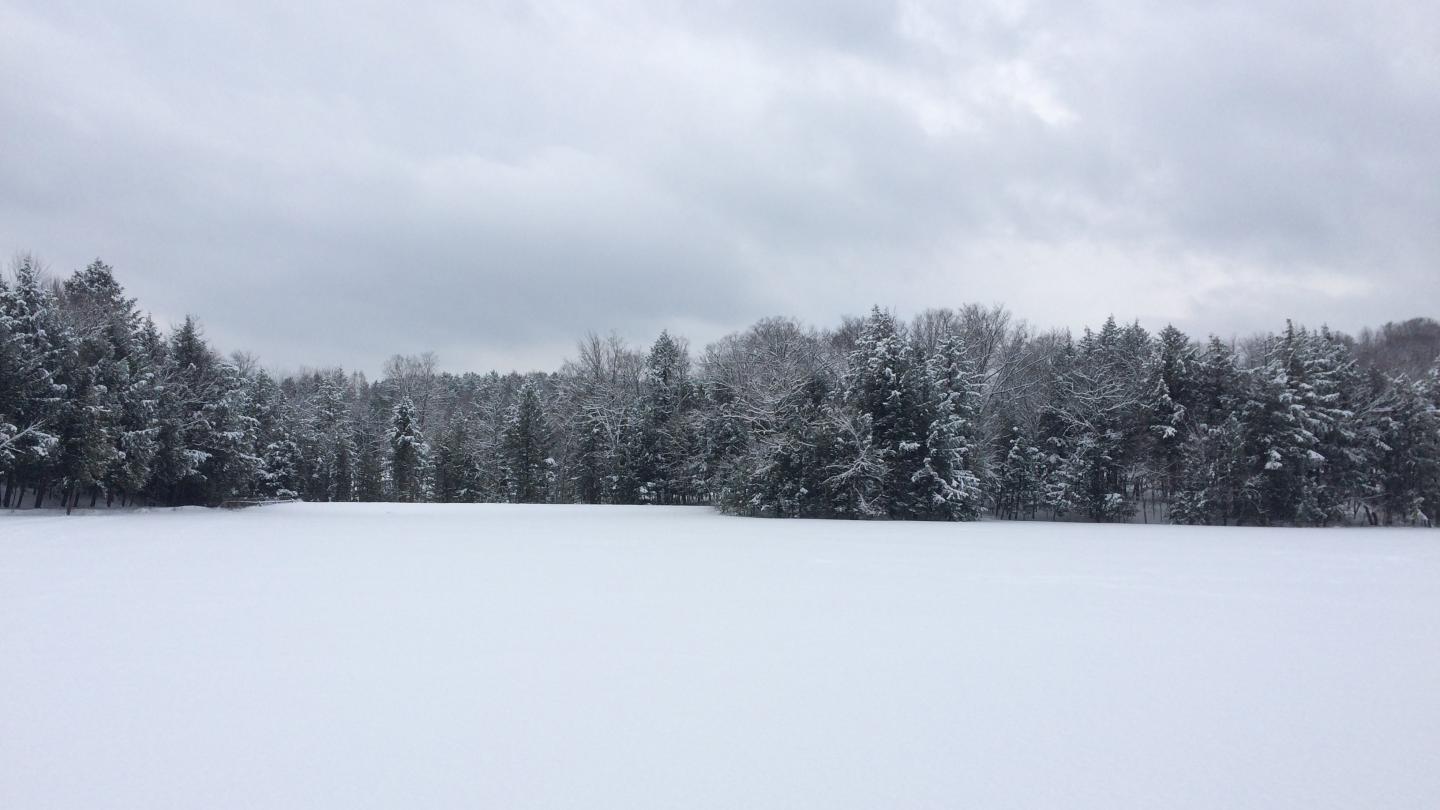
Take the Pogue Loop Trail around the tranquil body of water, home to both snapping and painted turtles. If it is a sunny warmer winter day, you might spot a group of turtles on a log basking in the warmth of the sun. Or you might be lucky enough to spot a Great Blue Heron feeding by the waters edge.
Once around the Pogue Loop, return back down Mountain Road or for an alternative route to the parking lot, take Upper Mountain Road down to the parking area entrance.
Moderate, roughly 2.5 miles, click here for trail-map
The Star, Mt Tom
Start at the Prosper Road parking area, located on the West side of Mt. Tom. Walk past the kiosk and pass through the wooden gate onto McKenzie Farm trail.
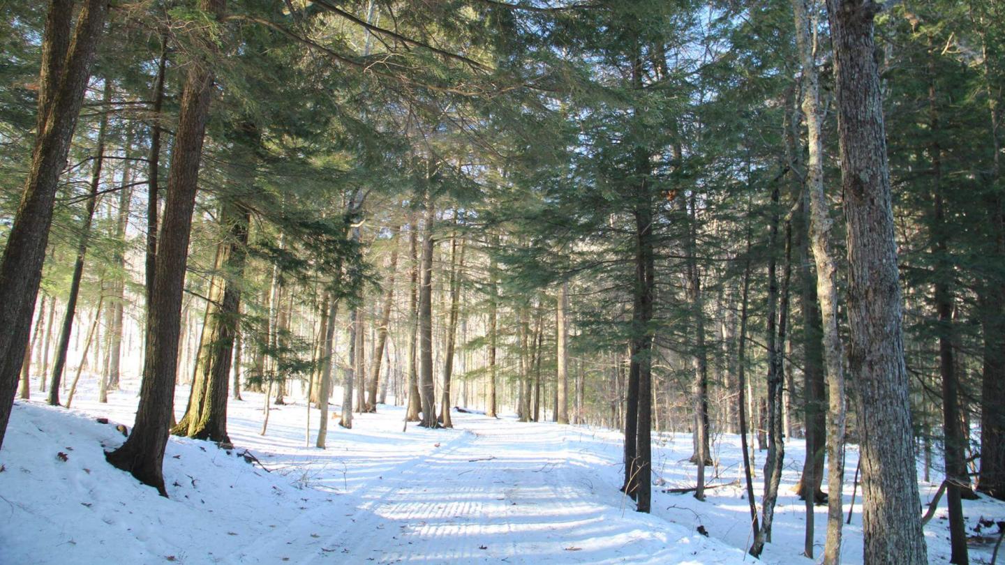
At the end of McKenzie Farm trail, turn left up McKenzie Road, a moderate route upwards that's perfect for all ages. Follow this path until it dead ends at North Ridge Loop, then take a right and head down the trail (for a more challenging endeavor which many enjoy on x-country skis, take the Prosper Trail from the parking area up, which will connect to the top of McKenzie Road).
The North Ridge Loop leads you down a short hill, take a right at the first intersection with two large trees and it will lead you to the Pogue - the gorgeous 14- acre mountain pond.
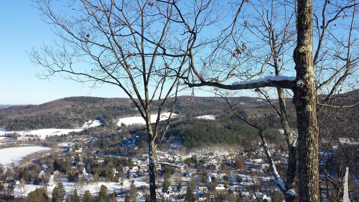
Enjoy the serene walk around the Pogue Loop Trail or take Mountain Road off the far left side of the Pogue to Mount Tom Road (shortly on the right) to ascend to the top of the South Peak, where you will find the star that shines brightly above Woodstock every night. Stop and breathe in the the captivating birds-eye views of town. In the early mornings, sometimes one is lucky enough to stand above the fog and it feels like floating on clouds.
Moderate, roughly 4 miles, click here for trail-map
THE Summit, MT PEG
The Mt. Peg trails, best for a snow shoe, can be accessed from the end of Golf Street in town. From the kiosk, take the fairly steep but short trail up to a set of gentler trails.
As you follow the Summit trail up and around to the top, or take the Spruce trail on your right up to Summit Trail, take a quiet moment to absorb your tranquil surroundings that foxes, red squirrels, and a colorful assortment of birds call home.
From the top, catch your breath and panoramic views of the Ottauquecheee River Valley, Billings Farm & Museum, and Mt. Tom. Descend the way you came, or take Red Pine leading you back around to the Summit trail. *
Moderate, roughly 2.5 miles, click here for trail-map
*If you are looking for longer and/or more challenging trails for a x-country ski, the Mt. Peg Summit can be reached by a vast network of groomed trails from the Woodstock Nordic Center. For a map outlining those trails, please visit the Nordic Center website. Additionally, an update on the status of their groomed nordic trails can be found here.
For a full map of trails available on Mt. Tom and Mt. Peg, please find trail maps from Marsh-Billings-Rockefeller National Historical Park here. Groomed Mt. Tom trails require a ski pass from the Woodstock Inn & Resort Nordic Center.
